


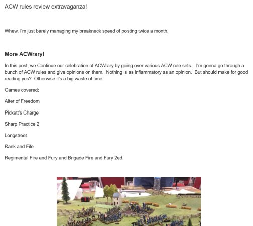


The goal is to build a series of gameboards covering Longstreet's Assault on the 2nd day of Gettysburg. I decided to try and go for actual contours, so that players could see the elevations more clearly.
- Ground scale:
- 1 inch = 40 yards (this works out to the 20mm scale for Johnny Reb 3)
- Elevation scale:
- 1 inch = 24 feet (this gives a pretty good overall ratio, so you can see the contours)
- Terrain scale:
- N-Scale (10mm) - I am using 10mm rail fences (Musket Miniatures), 10mm straight fences (GHQ), and 10mm stone walls (GHQ). Buildings are 10mm Starfort and 10mm Musket Miniatures. I also used 10mm miscellaneous haystacks, hay bales, etc.
Finding Source Maps
After considerable research, I settled on Desjardin's The Battle of Gettysburg maps. These are a project of the National Parks at Gettysburg and produced in 1998. My main reasons were that they included set-up points for the various battle phases, had 8-foot contours, and showed fence/wall placement and type. While these maps may be lacking in a few areas, overall they worked for what I wanted.

I supplemented this map with McElfresh's Gettysburg Battlefield map, taking from this map the content of each field (i.e., wheat, rye, hay, corn, etc.).

Scaling the Maps
Once I decided on a ground scale, I then had to determine what I was going to use to make the contours. I settled on ¼-inch fiberboard. Fiberboard is available in 30" x 40" sheets, so that became my map size. I scanned the Desjardin map, and cut out a section to be covered on my boards (using Photoshop) to a 60" x 80" area at 1" = 40 yards. This would allow me to fit everything onto 4 boards - and luckily, it covered the historical area of Longstreet's Assault.

Once I had the area cut out, I scaled the maps using Photoshop to half-size. These files were then printed at Kinko's.

I next used Kinko's plotter to double the size. This gave me the final source maps in actual board scale.
