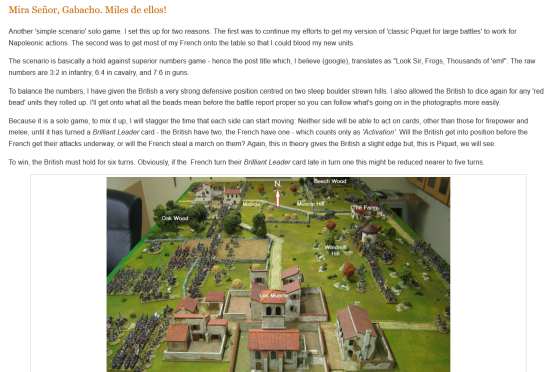
"Model of the field of Waterloo with troops ..." Topic
6 Posts
All members in good standing are free to post here. Opinions expressed here are solely those of the posters, and have not been cleared with nor are they endorsed by The Miniatures Page.
For more information, see the TMP FAQ.
Back to the Dioramas Message Board Back to the Napoleonic Discussion Message Board
Areas of InterestGeneral
Napoleonic
Featured Hobby News Article
Featured Link
Featured Showcase Article
Featured Workbench Article Our first Flintloque article.
Featured Profile Article The gates of Old Jerusalem offer a wide variety of scenario possibilities.
Current Poll
|
| Tango01 | 19 Sep 2016 10:38 p.m. PST |
…positioned as at 19.45 hours, 18 June 1815. "In 1830 Captain William Siborne obtained official approval for his suggestion that a model be constructed of the Battle of Waterloo. He took leave from the Army and undertook an eight-month survey of the battlefield. He then sent a circular letter to surviving British officers who had served at Waterloo. This asked them where their units had been at 'about 7 PM,' what enemy formations were to their front, what the crops were like in their vicinity, and inviting further comments about the parts played by their regiments.
About 700 replies were received and these formed the basis for Siborne's work. However, it is clear that he was highly selective of the evidence he chose to use. He does not appear to have attempted to obtain French and Prussian accounts and letters from the German officers in Wellington's Army were ignored. Much of the area occupied by the advancing Prussians is excluded and the model was clearly intended to be viewed from the British position. Nevertheless, it is a magnificent modelling achievement, and along with the archive of letters to Siborne which was its by-product, forms a unique piece of historical evidence…."
From here
link Amicalement
Armand |
| 4th Cuirassier | 20 Sep 2016 2:25 a.m. PST |
I am having real trouble figuring out what we are looking at in many of those photos. Photo 5 is Plancenoit although I can't work out what the compass orientation is. Photo 8 is Hougoumont though I'm not sure what angle we're seeing it from. Is photo 4 supposed to be La Haye Sainte? If so I am having serious doubts as to Siborne's reliability. It is Papelotte surely. |
| Marc at work | 20 Sep 2016 5:04 a.m. PST |
I never get bored of seeing these, and would dearly love to get up close and personal with that board and a camera. Shame the NAM don't encourage better access Reliability wise, I understand that the ground and buildings are pretty accurate – and that farm is not La Haye Sainte – you can see LHS in the wide views. Thanks Armand |
| Gazzola | 20 Sep 2016 6:53 a.m. PST |
Tango01 The miniatures don't look that hot, close up, but considering when it was done, who by and the amount of work and the wonderful overall effect, it is certainly on my must-get-to-see list. |
| Tango01 | 20 Sep 2016 11:10 a.m. PST |
Glad you enjoyed it boys!. (smile) Amicalement
Armand |
 deadhead deadhead  | 20 Sep 2016 11:50 a.m. PST |
Siborne exaggerated the vertical contours which can confuse, but he had to for effect. He did research the field obsessionally, so if he shows LHS in red brick….well, maybe….. 102348 This is the view from the SW corner ie behind Napoleon's left flank. Right of centre is La Belle All. The windy road above it is a muddy track down to Papelotte Smohain etc. The diagonal road from La Belle All runs horizontally to left screen, mid point. The track to Hgmt, Obviously the sunken road is the main chausee. 102347 is the reverse, from the northwesy corner, behind DoWs ridge, right flank. LHS appears at about 2.o'clock from centre. 102349 is easy. Hgmt complex from the north ie the Allied view (notice how little of it is actually the built up bit and how much is wood and orchard and how big the whole thing was back then) Placenoit high aerial image is the Prussians' view as they attacked from East. Hope that helps |
|